
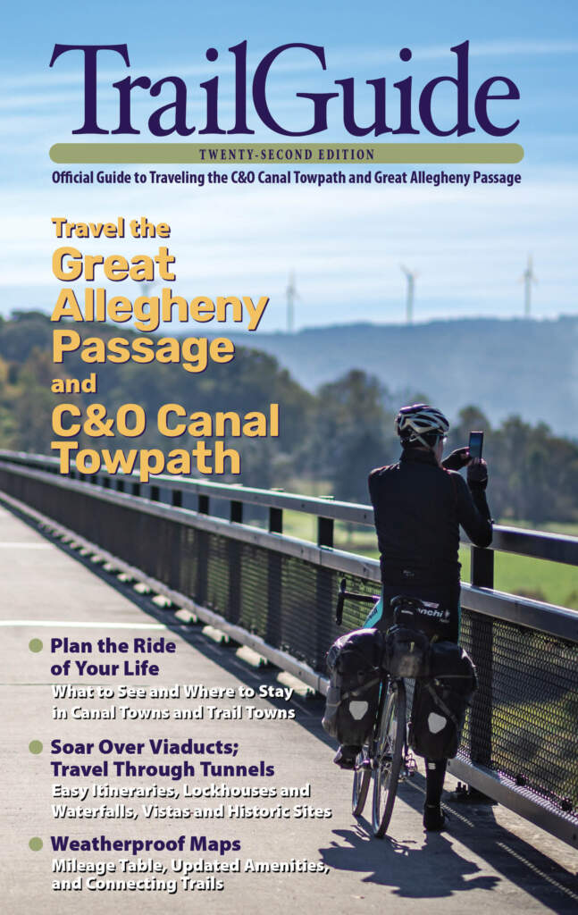
Plan the Perfect Bike Trip
Official Guide to the Great Allegheny Passage
TrailGuide is the official, authorized guidebook for traveling between Pittsburgh and Washington, D.C on the Great Allegheny Passage and C&O Canal Towpath — two scenic trails and one amazing journey.
Included in every TrailGuide is a removable, two-sided, weatherproof map, showing both trails and hundreds of amenities. The book also includes a mileage chart, a plan-your-trip checklist, suggestions on photo ops, options for camping, and a list of parking and trail access points.
Buy your copy for just $15 plus postage.
Proceeds from TrailGuide go into emergency maintenance along both paths.
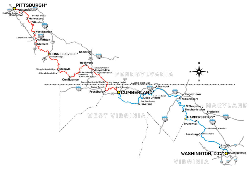
The Great Allegheny Passage®, or GAP, is 150 miles of non-motorized trail travel from Pittsburgh to Cumberland, Maryland. The nearly-level, crushed limestone path soars over valleys and snakes alongside rivers in Pennsylvania’s Laurel Highlands.
Eastward from Cumberland, the GAP connects to Washington, D.C. by another trail, the C&O Canal Towpath. Our interactive map, TrailGuide, and directory feature trail towns and attractions to be found on both trails.
Plan a Trip Online
The GAP experience continues into the amenities and attractions you can find in trail town communities. Besides the landmarks you pass while on the trail, your trip could include museums, outdoor recreation, and great food.
Use our free interactive map to search amenities by town and to save your trip agenda for your travel companions.
Your First Trip?
Before your first trip, get the answers to questions commonly asked by folks planning an outing.
Find out about elevation changes, where to park, the distance between trail towns, and important tips for traveling among a large group. Get tips for a safe and enjoyable experience for everyone in your group.