Plan Your Trip Today
150 miles of spectacular awaits.
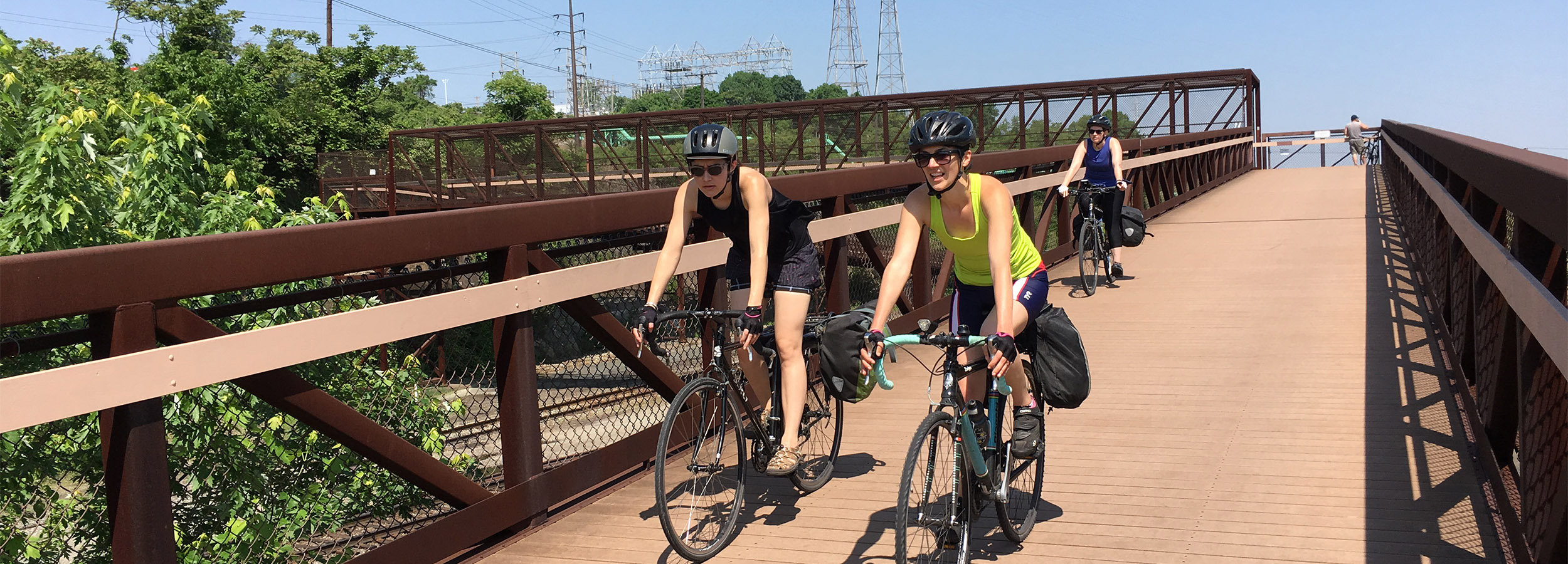
The Great Allegheny Passage® offers 150 miles of spectacular biking and hiking from Pittsburgh to Cumberland, Maryland. The nearly-level, crushed limestone path soars over valleys and snakes alongside rivers in Pennsylvania’s Laurel Highlands.
Eastward from Cumberland, the GAP connects to Washington, D.C. by another trail, the C&O Canal Towpath. Our interactive map, TrailGuide, and directory feature trail towns and attractions to be found on both trails.
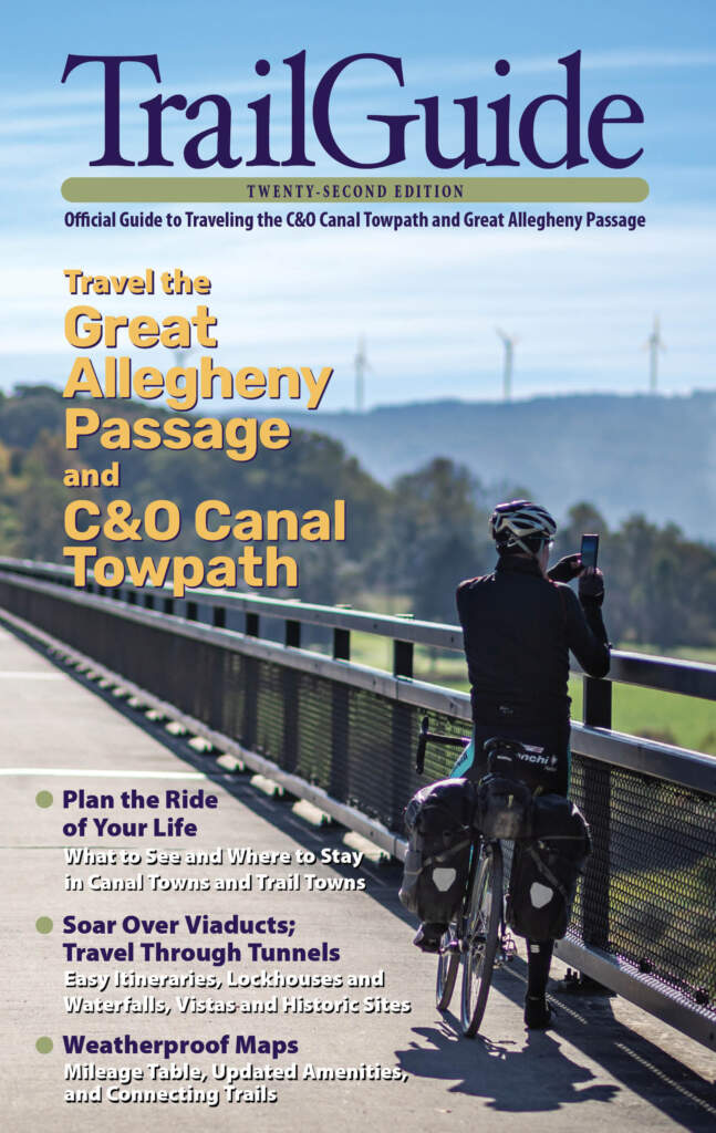
Get the TrailGuide
Official Guide to the Great Allegheny Passage
TrailGuide is packed with mile-by-mile trail descriptions, town maps and directories, and itineraries for day trips, weekends, and thru-rides.
The book also includes a mileage chart, a plan-your-trip checklist, suggestions on photo ops, options for camping, and a list of parking and trail access points.
At 232 pages, it’s comprehensive, but still fits nicely into a trunk-mounted rack or in the outside sleeve of a backpack. Included in every TrailGuide is a removable, two-sided, weatherproof map, showing both trails and hundreds of amenities.
Featured Itineraries
Over the River and Through the Woods
Starting in Connellsville and heading to Cumberland, you’ll cover 88.8 miles over two days on what was once the Western Maryland Railway’s extension into Pennsylvania.
Ride the Divide
This ride features the most spectacular structures on the GAP and a chance to cross the Eastern Continental Divide.
Steel Valley Volley
Experience thrilling inclines and hills — both natural and made of steel — during this out-and-back trip between the Laurel Highlands and Pittsburgh’s South Side.