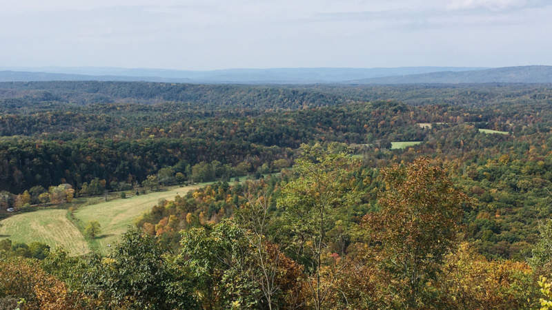
High in the Appalachian ridges is 49,000-acre Green Ridge State Forest, the largest block of public land in Maryland, and a shady delight to travelers on the C&O Canal Towpath, who traverse 30 miles of it parallel to the twisting Potomac River. The forest boasts 50 miles of paths for mountain biking, hiking, horseback riding, and hunting, great fishing spots on Fifteen Mile Creek and Sideling Hill Creek, over two dozen hidden geocaches, and 100 dispersed camping sites. A 44-mile curated driving loop of the entire forest hits many high points and overlooks. Six campsites along the C&O Canal Towpath are along the forest’s southeast edge, and the Paw Paw Tunnel carries travelers through a rugged section of forest wilderness.
Forest History
The land on which Green Ridge State Forest now sits was once owned by the pioneering Carroll family, whose patriarch was the last surviving signer of the United States Constitution. A crumbling stone structure known as the Carroll Chimney, part of the family’s steam-powered sawmill built in 1836, is the only known surviving structure of that period. The Western Maryland Railway forged through the area in 1906 and constructed four tunnels and 23 bridges; the Indigo Tunnel is visible today (but closed to travelers) on the Western Maryland Rail Trail. The Merten family curated an extensive apple orchard in the early 1900’s, before turning the land over to the state during the Great Depression.
Visitor Information
Green Ridge State Forest is open year-round. Its headquarters building is off I-68 using exit 64.