History
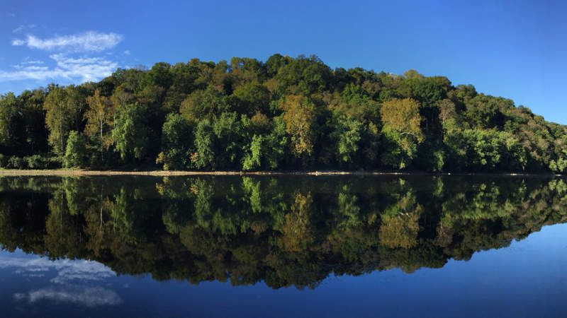
From where its two branches meet upon their descent from the mountains of Virginia and West Virginia, the Potomac River winds 302 miles into the Chesapeake Bay and forms significant stretches of Maryland’s borders with Virginia, West Virginia, and Washington, D.C. In its wild upper reaches it is shallow enough to wade across. Across from Great Falls Tavern and Overlook it forms a torrent of chutes and waterfalls. Near its mouth, it becomes an estuary five miles wide. “One of the finest rivers in the world,” according to George Washington, who spent most of his life within its watershed, the Potomac River is within view of travelers on the C&O Canal Towpath for nearly every mile of the towpath’s parallel path between Georgetown and Cumberland. Mines, mills, and railroads eventually dotted its banks. Union and confederate soldiers battled from either side. Fed by tributaries like Monocacy Creek, Antietam Creek, the Shenandoah River, and the Anacostia River, the Potomac swells as it heads to the ocean, but is unencumbered by major dams and remains largely wild.
Native Americans centered hunting, trading, and transport along the banks of the Potomac River for millennia. Beginning in the eighteenth century, it began to connect rural Appalachian cultures with increasingly-populated Washington, D.C. Today, some five million people live within its watershed. Because of the C&O Canal and the establishment of the C&O Canal National Historical Park, the Maryland side of the river remains largely undeveloped from Georgetown to Cumberland. Over the last 50 years, efforts to reduce runoff and pollution have improved the river’s quality, and its ecosystem supports dolphins, striped bass, blue herons, and bald eagles, among many others.
Visitor Information
River access is available at scores of campgrounds within the C&O Canal National Historical Park, and its waters are enjoyed by paddlers, anglers, and boaters for hundreds of miles.