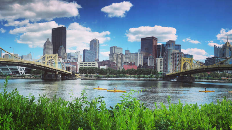
For 325 miles, the Allegheny River zigzags from the wilds of north-central Pennsylvania, into the Allegheny National Forest, past the commonwealth’s historic oil country, through a chain of eight locks, and along Downtown Pittsburgh where it meets the Monongahela River at Point State Park. The Great Allegheny Passage touches the Allegheny River only at this spot. Today, the river is popular for paddlesports and pleasure boats more than coal barges, and the Three Rivers Heritage Trail system offers bicyclists, runners, and walkers additional miles of frontage to explore on both riverbanks.
The Allegheny in History
European exploration disrupted thousands of years of Native American use of the Allegheny River, and struggles for control among British, French, and Shawnee people during the French and Indian War eventually resulted in British dominance. The river saw significant use for transporting coal and oil in the 19th and early 20th centuries, and the 1965 Kinzua Dam flood-control project decimated Seneca lands. In 1992, 87 miles of the Allegheny River were designated “wild and scenic,” and within that section, the Allegheny Islands Wilderness contains seven islands popular for dispersed camping, exploration, and viewing scenery and wildlife.
Visitor Information
Near the GAP, the Allegheny River is best viewed by bicycle or on foot at Point State Park. Metered on-street parking and several fee-based parking lots and garages are located within walking distance.