General Information
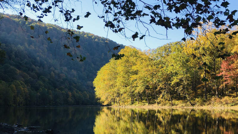
The 134-mile Youghiogheny River flows north from West Virginia and Western Maryland, passes through the heart of Pennsylvania’s Laurel Highlands, and flows into the Monongahela River. Along the way, it parallels the Great Allegheny Passage from Confluence to McKeesport, and provides perfect stops for fly-fishing, birdwatching, and paddlesports. It forms the deepest gorge in Pennsylvania through Ohiopyle State Park, and is known for the most popular Class II and III rapids in the eastern United States, above and below the spectacular 18-foot Ohiopyle Falls, respectively. Calmer waters allow for swimming and floating between Connellsville and West Newton. With scores of tributaries, it passes below the Ohiopyle Low Bridge, around Ferncliff Peninsula, and under the Ohiopyle High Bridge. A flood-control dam forms the 16-mile Youghiogheny River Lake — perfect for boating and picnicking — just above Confluence.
River History
The Youghiogheny River took center stage during the United States’ westward expansion, with a young George Washington exploring the river corridor while seeking a clear passage through the Allegheny Mountains to Fort Duquesne in 1754. In 1788, early pioneers built and launched flatboats from what is now West Newton, en route to settle the Northwest Territory. For the better part of a century, “the Yough” witnessed extensive coal mining, lumbering, and millwork along its edges from Connellsville to McKeesport, and even today with those industries absent, that section is listed as “endangered” by American Rivers. It is also listed as Maryland’s only “Wild River”.
Visitor Information
The Youghiogheny River is publicly accessible in Confluence (the Ramcat boat launch), Ohiopyle, Connellsville, West Newton, and McKeesport, as well as hamlets in between. Outfitters in Ohiopyle and West Newton offer floating and paddling trips and rent gear.