Where Mountains Touch Rivers
The Casselman River and Laurel Hill Creek join the Youghiogheny River in picturesque Confluence. Young George Washington explored the region in 1754 during his days as a surveyor, and noted that the three bodies of water together formed the shape of a turkey foot. To this day Confluence sits in the Turkeyfoot Valley, poised on the eastern edge of Ohiopyle State Park and its vast recreational opportunities.
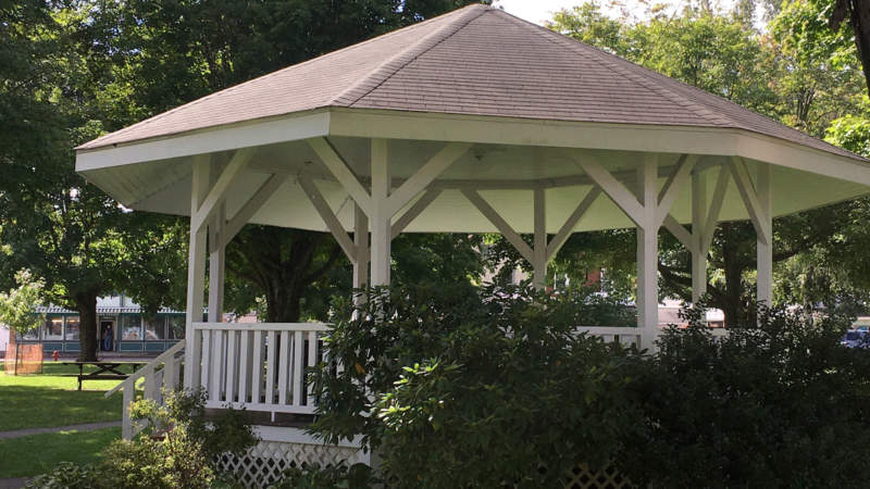
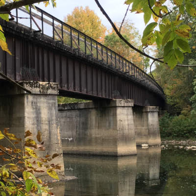
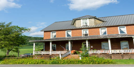
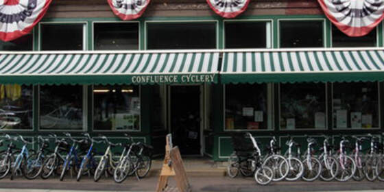
Confluence is a favorite stop for its many B&B’s, guesthouses, restaurants, cafés, and an espresso shop. Two bicycle/pedestrian bridges connect the town’s peninsulas. A full-service bike shop, the Turkeyfoot Valley Historical Society, and several retailers anchor its town square, itself reminiscent of New England with a lovely wooden gazebo perfect for a break from traveling.
Nearby Landmarks
Confluence is the home of the newly-opened Joshua C. Whetzel, Jr. Recreation Area, featuring an easy footpath up to a ridge overlooking the town and trail. A short ride from the GAP is Youghiogheny River Lake and Dam, with great views from the top of the dam and wooded picnic areas nearby. The popular Outflow Campground has a hiker-biker section and several loops for traditional car camping.
East of Confluence on the GAP are the Pinkerton Low and High Bridges above the fast-moving Casselman River, the 849-foot Pinkerton Tunnel, and the Pinkerton Bypass. Westbound is a popular put-in for whitewater paddlers, and the rest of Ohiopyle State Park.
Local Events and Activities
The local can’t-miss event is Pumpkinfest, an October weekend delight, with arts and crafts, live music, a pageant, an antique and classic auto show, square-dancing exhibition, and a largest pumpkin contest. The Mt. Davis Challenge, held in July, attracts road- and gravel-cyclists for a 56-mile race with punishing climbs and thrilling descents.
The Casselman River features great paddling, trout fishing, and wildflower-viewing.
Parking and Trail Access
The primary parking lot for the GAP also serves the Joshua C. Whetzel, Jr. Recreation Area, and accessed via River Road, just off PA-281. There’s also a gravel lot along Ram Cat Road, at the far eastern edge of Ohiopyle State Park, where rafters often put in for floating the middle section of the Youghigheny River.

